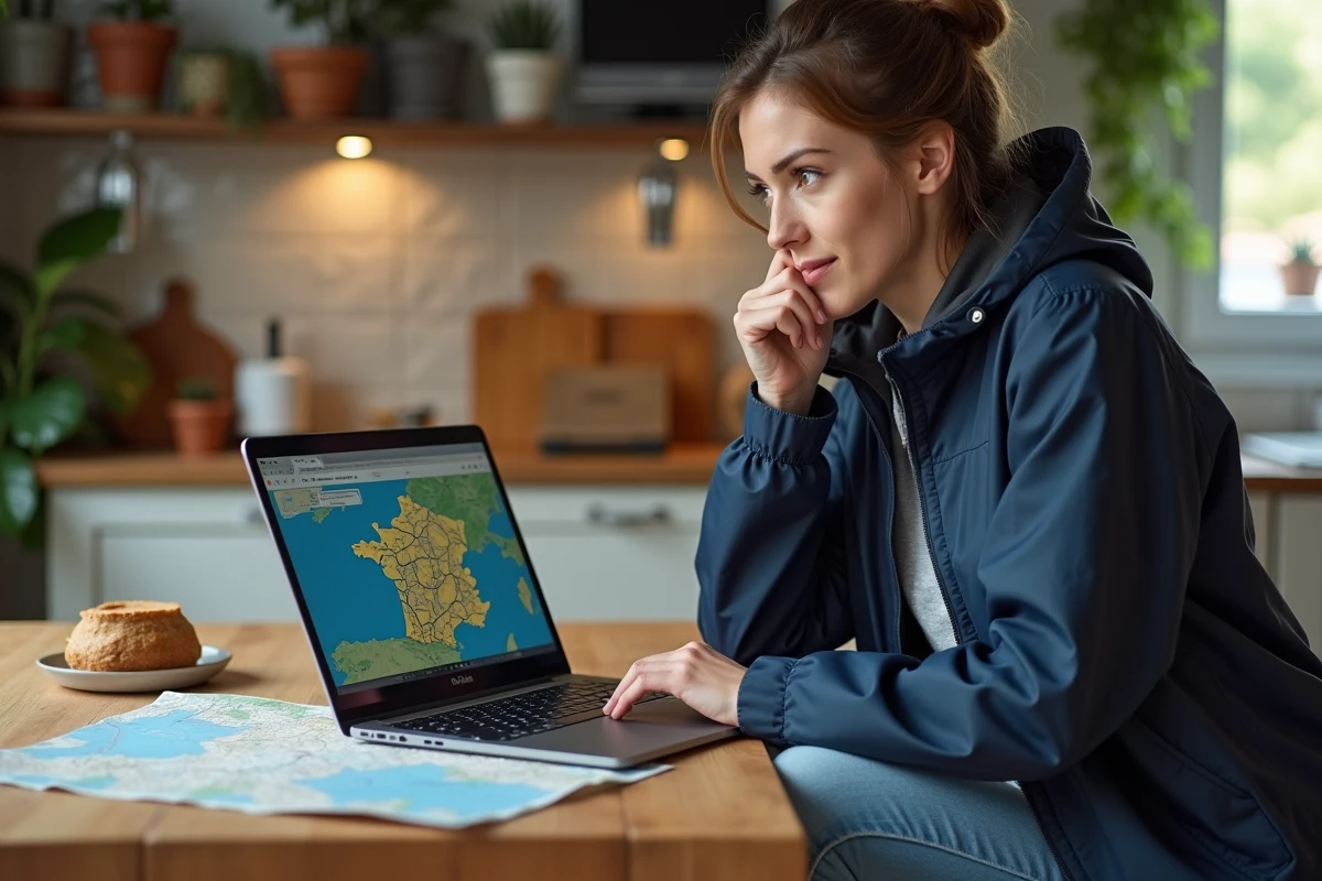
A figure does not lie: every year, more than three million French people consult an IGN map, whether to navigate in the great outdoors, prepare a construction site, or plan a school outing. This is no coincidence. Access to IGN’s mapping data has gradually opened up for free, but some advanced features or formats remain subject to specific conditions. The official Cartes IGN app now allows users to access the entire mapping database for free, while downloading high-definition maps is sometimes restricted or requires the use of specific platforms.
To obtain an IGN map without spending anything, several options are available online. Each comes with its own limits and constraints. It all depends on the medium used, the desired level of precision, and the final use; it is therefore better to know the options before diving in and avoid wasting precious time.
Why IGN maps are essential for exploring French territory
Exploring France without using IGN maps is like venturing almost blindly. Behind these detailed maps, the National Institute of Geographic Information produces cartography with an almost obsessive rigor: trails, reliefs, groves, buildings, nothing escapes this meticulous gaze. The Cartes IGN app offers free access to all IGN data, continuously enriched by contributions from OpenStreetMap, ensuring vibrant and reliable maps.
The range of thematic layers transforms usage: agriculture, wooded areas, natural hazards, or protected reserves, each sector has access to precise information, prepared for all types of users. The BD Topo reference goes even further by integrating networks, infrastructure, hydrography, and urban organization. France appears in all its complexity, down to its smallest topographical details.
For anyone seeking direct access to geographic information, there is an essential resource: free IGN maps to download. Whether planning a hike, studying territorial changes, or preparing a development project, IGN mapping profoundly alters access to data that was once reserved for a few specialists.
Thanks to the reliability of the maps and the variety of data, everyone can decipher the territory, create a precise itinerary, track a landscape transformation, or simply analyze a local environment. The IGN, with its technical foundation and sense of service, connects citizens to the geographical richness of the country, whether for professional uses or Sunday explorations.
How to consult IGN maps online for free?
For those who want to visualize everything at no cost, Géoportail ranks among the reference platforms. This public site provides immediate access to IGN topographic maps, aerial views, and numerous thematic layers covering the entire France. Géoportail offers practical visualization, measurement, and extraction tools suitable for both discovery and more in-depth analyses.
The OpenStreetMap complement enriches this panorama, especially for tracking the evolution of paths or urban details. One can also explore the French cadastral plan, available in vector data format (PCI Vecteur for most municipalities, via EDIGÉO or DXF-PCI) or images (PCI Image, in TIFF format for other localities).
Practically using the downloaded data
The open formats offered by IGN facilitate the integration of maps into various free software: QGIS, JOSM, or GDAL, to name just a few. These tools are ideal for manipulating the diversity of available layers: nature, urban planning, transport, risks, forests…
This approach appeals to local authorities, study offices, academics, and citizens who seek to better understand their environment or produce their own customized maps.
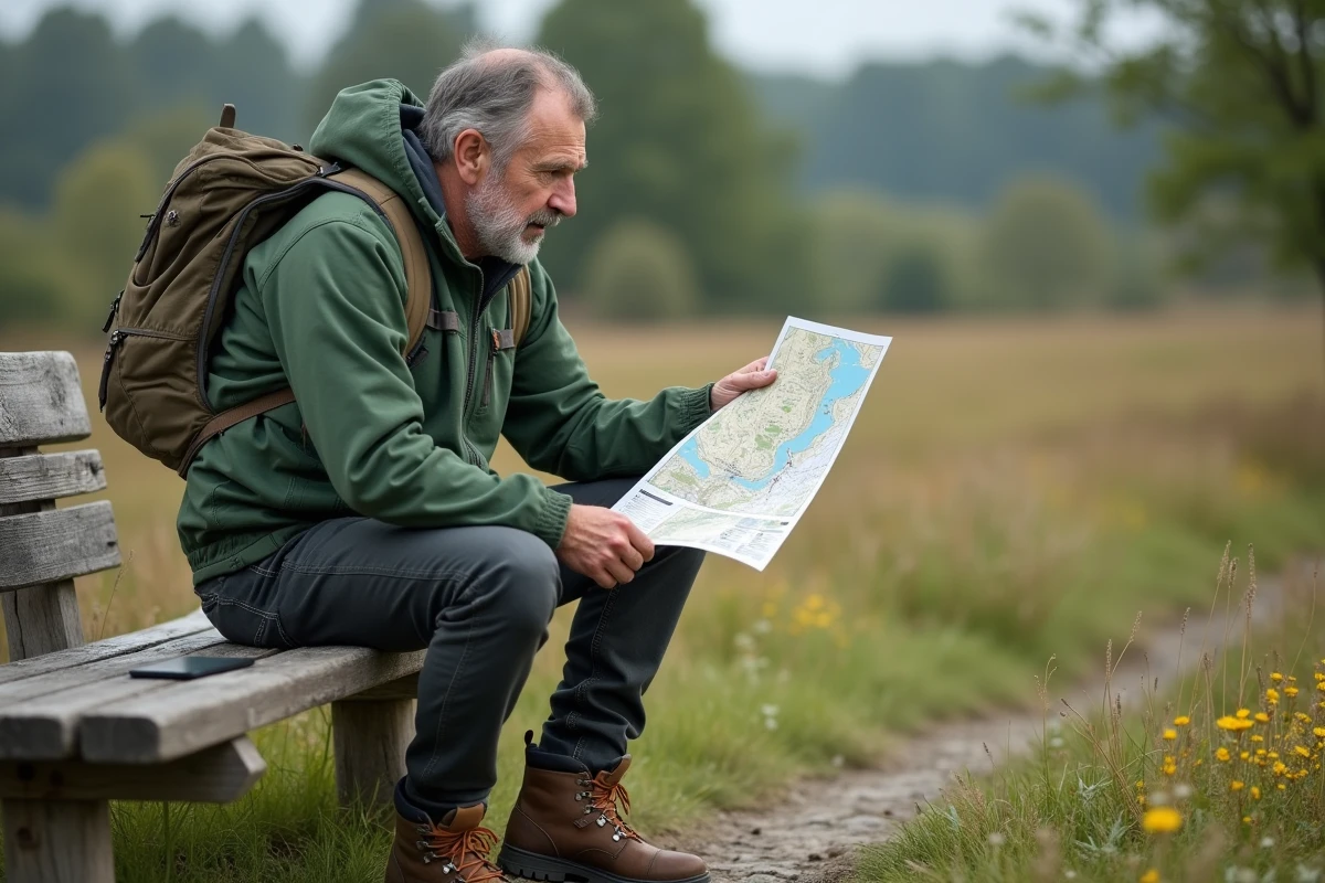
The Cartes IGN app: renewed access and new uses
The Cartes IGN app, available for free download on the Play Store and Apple Store, renews the discovery of French cartography. Replacing the old mobile Géoportail service, it focuses on a clear and efficient interface that provides access to all IGN mapping data as well as multiple thematic layers (agriculture, forest areas, natural hazards, urban networks, hydrography, environment).
The process to obtain an IGN map is simple and quick: install the app, target an area, select the desired base (topo, aerial, or thematic), then export or save the map on your phone or tablet. The app meets the needs of a wide audience, from outdoor enthusiasts to professionals. Here is a practical overview of the features available:
- Route calculation and creation of personalized paths
- Import and export of GPX tracks to prepare, share, or replay a route
- Comparison between multiple maps to observe territorial evolution
- Instant sharing of location with friends and colleagues
- Access to points of interest and reporting of mapping errors to contribute to continuous improvement
The experience does not stop at simple consultation: everyone can participate, report inaccuracies, complete information, or improve collective accuracy. The combination of IGN expertise and the dynamism of OpenStreetMap makes the tool reliably vibrant and adapted to the reality on the ground. Enough to satisfy the thirst for discovery, refine analyses, or calmly prepare the next project.
On paths, along a river, or around a corner, the IGN universe is now nestled in a smartphone: a vast territory brought to the fingertips. It is up to everyone to take advantage of it and (re)discover a France that refuses to be reduced to a simple white background.